|
Missouri
State University
Department
of Geography, Geology, and Planning
|
|

|
|

|
|

|
NEPAL-MT. EVEREST TREK
October, 2006
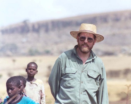
Dr. Mickus took a trek to
the Mt. Everest region of Nepal
in October, 2006 for 18 days. During this trek he saw many outstanding
geological (Himalayas, normal faulting,
metamorphic and granitic rocks), glacial (glaciers, valleys, moraines), river
(valleys, braided, waterfalls), and cultural (Buddhist, Hindu) features. I
first toured Kathmandu, then flew to Lukla and
started the trek to Everest. I went to Namche, Dingboche, Island Peak, Laboche,
Everest Base Camp, Kala Patthar (high point at 5,550 m), and Gokyo.
Some of the sights I saw
are shown on the following 4 pages.
(click on
image to see larger version)
|
|
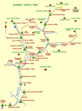
Location of the
Mt. Everest
trek. The start was at Lukla (airplane).
|
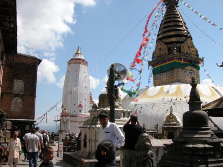
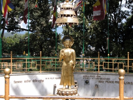
The Buddhist
shrine-Swayaambhunath-better known as the monkey shrine in Kathmandu
|
|
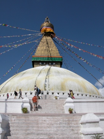
Buddhist shrine of
Bodhnath-notice the budda eyes
|
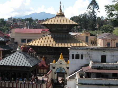
Pashupatinath Hindu
Temple
|
The entrance to the Monkey Shrine
|
|
|
|
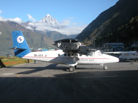
Our plane in Lukla, start of the
trek
|
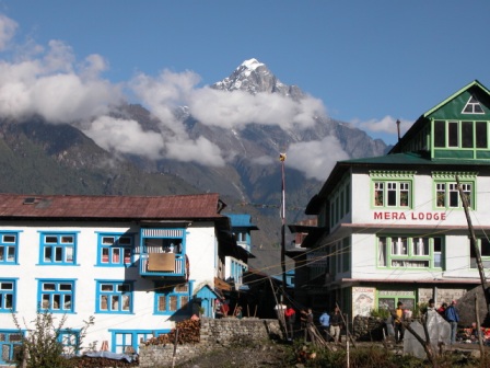
View from Lukla
|
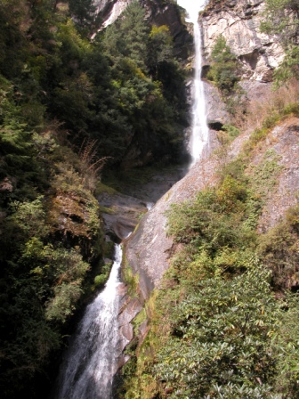
One of the many waterfalls north
of Lukla
|
|
|
|
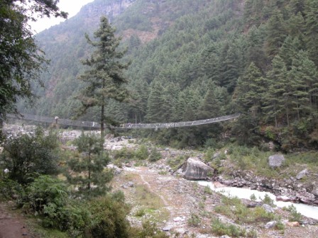
One of the numerous steel bridges
across the Dudh
Khola River,
this is near Phakdingma
|
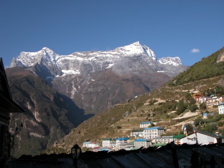
Mountains and Namche (3,449 m),
were we spent two days
|
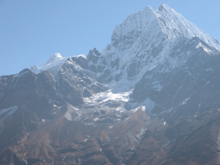
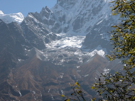
Kangtega (6685 m) near Namche
with glacial moraines
|
|
|
|
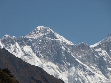
Our first view of Everest from
the Everest Viewpoint near Namche
|
Small Glaciated valley near Namche
|
|
|
|